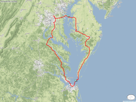
Chesapeake Bay Loop Ride
This is a ride Duncan and I have been talking about doing for years.
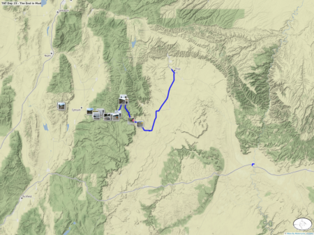
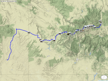
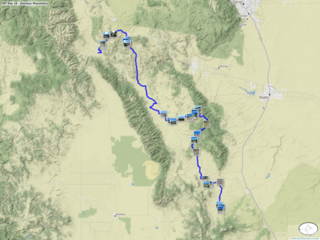
TAT Day 20 - Terrifying Ophir Pass
Today was a day of Colorado mountain passes. Ophir Pass was supposed to be super easy. It was anything but.
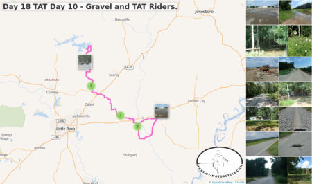
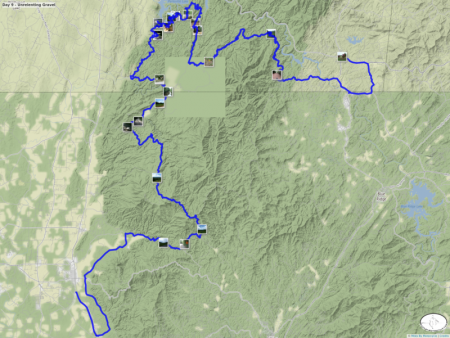
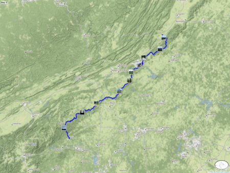
Day 18 TAT Day 10 - Gravel and TAT Riders.
It was a combination of gravel roads today. Some hard pack. Mostly crowned first gear gravel where 15 mph was about as fast as I could go.
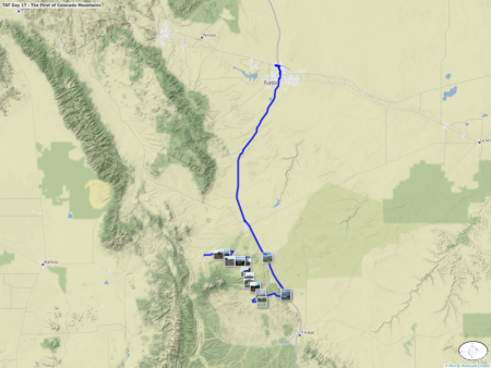
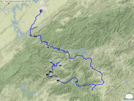
TAT Day 17 - The First of Colorado Mountains
It was glorious riding once I got back on the trail today.
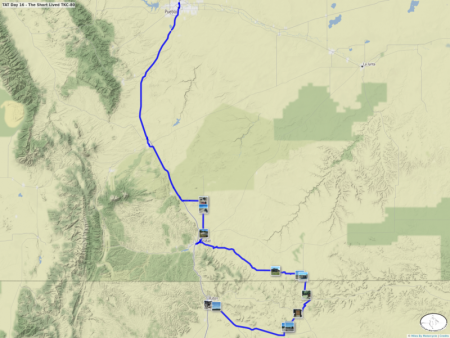
TAT Day 16 - The Short Lived TKC-80
116 miles is all I got out of my brand new TKC-80 when it got badly sliced by some foreign object. I tried to patch it but the patch failed so I used the spare front tube in the rear and limped to Pueblo Colorado.
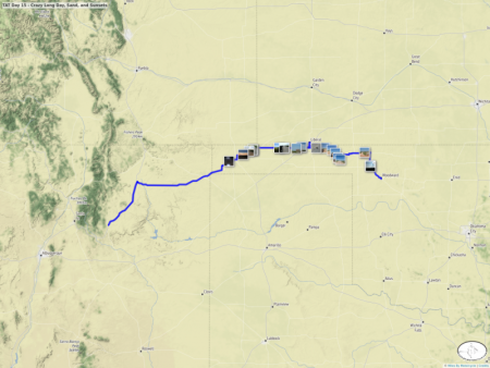
TAT Day 15 - Crazy Long Day, Sand, and Sunsets
My GPS hates me.
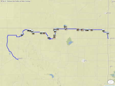
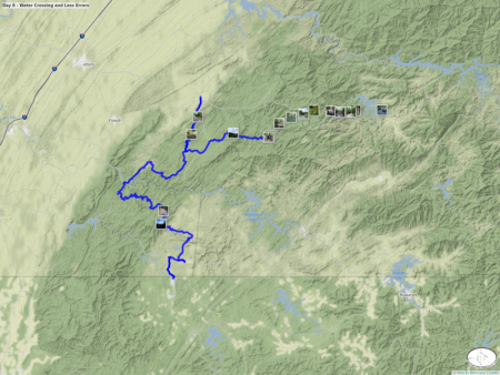
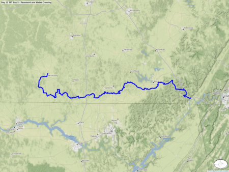
TAT Day 14 - Oklahoma Mud Puddles and Water Crossings
The trail surface changed dramatically today. I don't understand how someone would be able to ride these roads in the wet. The remnants of the rains from a couple of days ago were bad enough. The black mud in this region is no joke,
Day 16 TAT Day 9 - Mud and Silt
First off today in some deep silt. Also first real mud although only for a section.
After doing it for a few days, I think my attempts at documenting the paved vs unpaved sections of the TAT aren't really all that useful. It's far more pavement than I would have guessed.
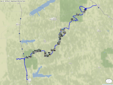
Day 15 - TAT Day 8 - Beginning to Feel Like Trails
The sections through Southern Mississippi have begun to feel almost like proper trail riding. It was overwhelmingly off pavement and many of the roads looked like they have not see car traffic in ages. On this map, I've tagged all the photos that mark pavement/gravel transitions with the tag 'surface_transition'. Once I have time I hope to use them to mark out and measure just how much off pavement there is.
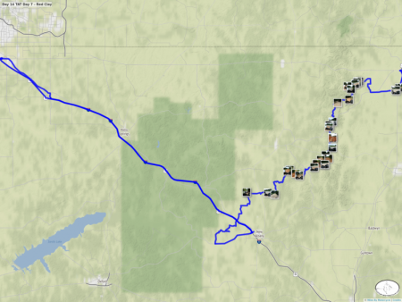
Day 14 TAT Day 7 - Red Clay
More red clay roads with evidence of recent rains. These roads looks like they could become quite challenging in the rain but aside from some gravelly sections on top of a layer of recently grated loose dirt the roads were easy.
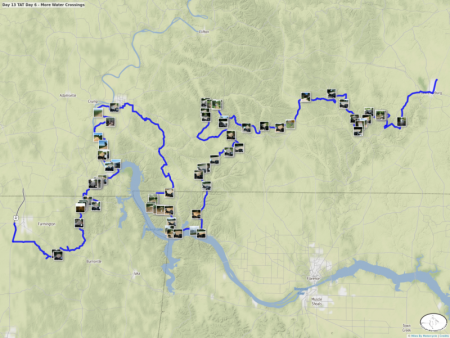
Day 13 TAT Day 6 - More Water Crossings
I tried to mark each section of gravel start and end with a photo. The ones that show the GPS mark start/ends. If it's a photo of gravel/dirt it shows the start. If it's pavement it shows the end.
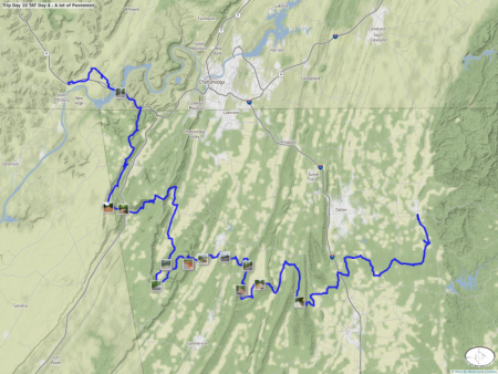
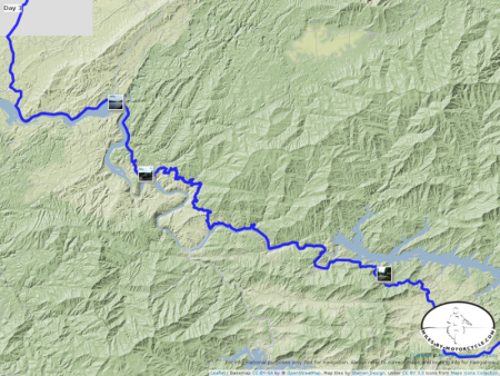
Trip Day 10 TAT Day 4 - A lot of Pavement
Today's sections involved quite a bit of pavement. The paved sections were, however, quite nice.