
How do motorcycle riders choose from more than 100 outstanding biker roads in the Smoky Mountains?
While all those roads have something to offer, America Rides Maps suggests these are the roads to hit first when you visit on your motorcycle tour -
The Blue Ridge Parkway -
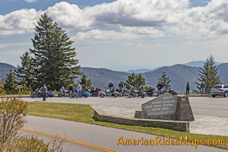
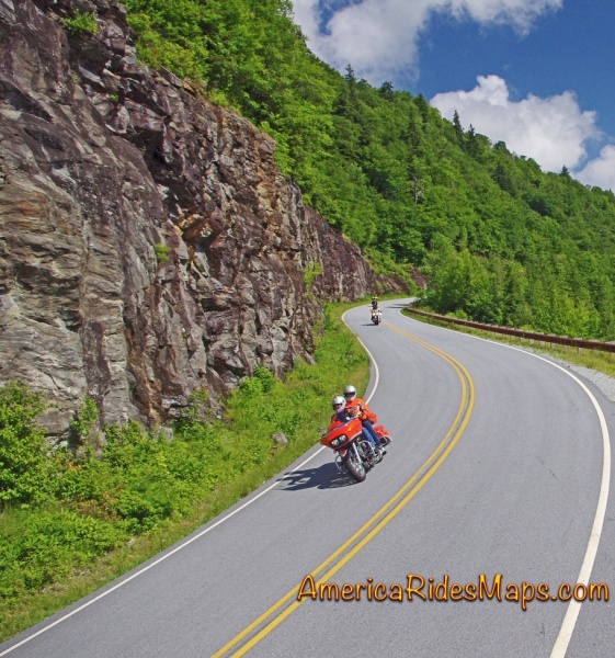
Hands down this should be at the top of your list. The best 50 miles of the 469 mile long scenic road are right here and easy to get to. It's the highest section of the parkway filled with stunning overlooks as it cuts along the tops of the mile high mountains. Ride the section between US 19 (near Maggie Valley) to US 276 (south of Waynesville). Highlights on this stretch include Waterrock Knob, The Highest Point (classic photo with the sign), the Devils Courthouse, Looking Glass Rock, Second Falls at Graveyard Fields, and so many beautiful viewpoints to enjoy. The grades are gentle, the curves are satisfying. It's a relaxing and enjoyable ride.
You can do it in a couple of hours or spend the time to stop and savor the sights. If you want to make a day of it, follow the parkway to Great Smoky Mountains National Park and ride across the heart of it on US 441. In the other direction the parkway leads through Asheville then gradually climbs to reach Mt. Mitchell State Park, the highest peak in the east.
More info - https://miles-by-motorcycle.com/51999/blog/53348/the-best-section-of-the-blue-ridge-parkway
The Dragon & Cherohala Skyway -
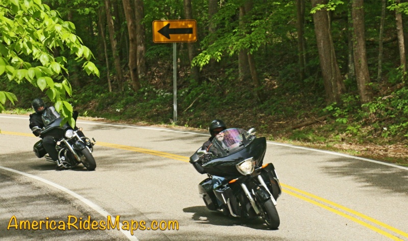
Located on the west side of Great Smoky Mountains National Park, these roads are two of the most popular rides in the Blue Ridge. The legendary Dragon (US 129) draws motorcycle and car enthusiasts to the 13 miles of tight, technical, challenging curves that hug the border of the park. It can get crowded on weekends and while the road has a notorious reputation a casual run is a lot of fun. You'll see numerous photographers along the route to capture your vacation shots as you pass. Nearly 100 paved pull-offs let you escape the speed demons on your tail or just pause to watch the carnival. It takes about half an hour to run the Dragon.
The Cherohala Skyway is very much like the Blue Ridge Parkway running 50 miles between the small towns at either end. It climbs to the highest ridges as it courses through the vast wilderness of the Cherokee and Nantahala National Forests. There are numerous nice overlooks to appreciate the views. The curves are more sweeping, the grades easy, and it's rarely anything you'd call crowded. There are some tighter sections of road as you come off the Skyway at the North Carolina end to choose from. At the Tennessee end of the ride, look for tiny River Road to lead you out to Bald River Falls and Baby Falls. Plan a couple hours for this road if you go out to the falls.
To make a day of it a popular loop ride combines both passing the Vonore, TN. In NC, US 129 is an easy ride south to Robbinsville, or NC 28 takes you on an awesome curvy ride when headed east.
More info - https://miles-by-motorcycle.com/51999/blog/52688/ride-the-dragon-and-the-cherohala-skyway---loop-ride
US 64 - The Waterfall Ride -
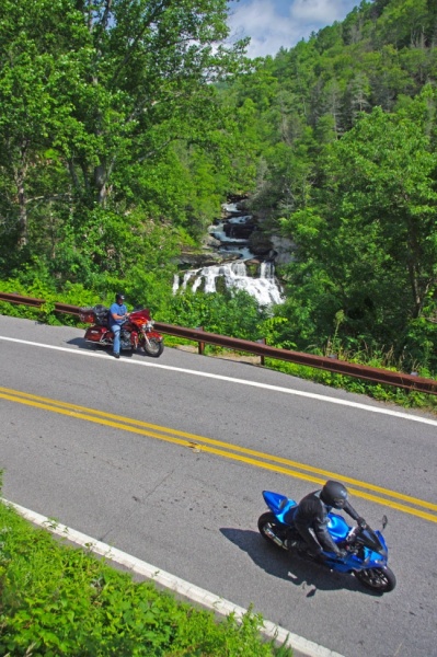
There are many versions of this ride which is anchored to the section on NC 28 / US 64 between Franklin and Highlands, NC. Cullasaja Falls, Dry Falls, Quarry Falls, and Bridal Veil Falls are found in the Cullasaja Gorge making this one of the easiest spots to see a lot of falls in a short distance. West of Franklin, Wayah Road climbs over the mountains to the Nantahala Gorge. Upper Nantahala Falls is on the way. Wesser Falls and Nantahala Falls are found in the Gorge. To the east of Highlands, Toxaway Falls is on US 64, Whitewater Falls is just a few miles south. A bit further east you'll find Birdrock Falls and Mill Shoals Falls on NC 215, and Looking Glass Falls and Sliding Rock on US 276. There are so many waterfalls you can take a couple days to see all the easy ones.
This map shows one way to see a dozen falls in a day on a reasonable length ride. There are many other ways to link the roads and tour the cascades.
More info - https://miles-by-motorcycle.com/51999/blog/52558/the-easy-waterfall-ride
NC 209 - The Rattler -
This easy to access ride on the east side of Great Smoky Mountains National Park is a gem. The 37 mile run from Junaluska to Hot Springs gives you a little bit of everything in nicely spaced doses. There are gentle valley rides, twisty mountain climbs, pretty scenery, rushing rivers, and historic sights. There are a couple spots to eat in Hot Springs and a spa where you can soak in the natural hot spring waters.
The ride takes about an hour. There is a popular loop that can make it a half day ride passing through Marshall then winding over the mountains to return back to NC 209.
More info - https://miles-by-motorcycle.com/51999/blog/52309/the-classic-rattler-loop-ride
The Copperhead Loop -
This ride has a few versions which are all built off two outstanding roads - US 276 and NC 215. Both of these roads run north to south. The Copperhead Loops are made with roads which run between them. Think triangle, not loop - US 276 and NC 215 meet in Bethel, NC. They then both run south more or less parallel to one another crossing the border into South Carolina.
US 276 is the better known of the two roads. From Bethel, it runs along a valley then makes a dramatic climb to intersect the Blue Ridge Parkway. South of the parkway it descends to Brevard with attractions and waterfalls along the way. It then runs into town then shoots south again passing Connestee Falls into South Carolina. It has engaging curves, nice scenery, one of the most popular waterfalls (Looking Glass Falls) , and can get a bit crowded on weekends as so many flock to the beautiful area around the waterfalls.
NC 215 also leaves Bethel to follow a valley, then begins a gradual and twisty climb. It's more technical than US 276 and the challenges are more sustained. There's little if any traffic. There are waterfalls along the way.
Both roads reach their first connection at the Blue Ridge Parkway then drop down the south slopes to reach US 64. US links between Rosman and Brevard, it's the classic easy connecting route, the "standard" loop. South of US 64, NC 215 becomes US 178. Both it and US 276 continue south into South Carolina to reach the southernmost linking road, SC 11.
More info - https://miles-by-motorcycle.com/51999/blog/53429/best-rides-in-the-blue-ridge---the-copperhead
These roads and many more are catalogued on motorcycle ride maps published by America Rides Maps. Buy them online at http://AmericaRidesMaps.com
America Rides Maps
Maps of Great Motorcycle Rides in the Blue Ridge Mountains. Blue Ridge Parkway, Tail of the Dragon, hundreds of great biker roads for motorcycle touring. Tennessee, North and South Carolina, Virginia, Georgia motorcycle ride maps,
http://AmericaRidesMaps.com
America Rides Maps makes the most detailed and comprehensive maps of the Blue Ridge Mountains. A series of easy-to-use pocket maps cover the mountains from Virginia to Georgia showing all the best roads and good roads to link them together.
100 Great Motorcycle Rides in the Smoky Mountains | America Rides Maps
100+ Great roads surrounding the Smoky Mountains
https://americaridesmaps.com/produc...
Southeast Blue Ridge Map Package | America Rides Maps
Full Southeast Package, motorcycle maps, motorcycle touring, touring the blue ridge, ride the Blue Ridge Parkway, best motorcycle rides
https://americaridesmaps.com/produc...
Motorcycle Rides surrounding Great Smoky Mountains National Park | America Rides Maps
Motorcycle Rides surrounding Great Smoky Mountains National Park maps, motorcycle smoky mountains, great rides near Great Smoky Mountains, Best motorcycle rides
https://americaridesmaps.com/produc...
3 Map Smoky Park Unpaved Set | America Rides Maps
The unpaved roads in and surrounding Great Smoky Mountains National Park
https://americaridesmaps.com/produc...
#6 The Best Motorcycle Rides Near Smoky Mountains Park - EAST | America Rides Maps
East and south of the Smoky Mountains, the land of the Waterfalls.
https://americaridesmaps.com/produc...
#7 The Best Motorcycle Rides Near Smoky Park - SOUTH | America Rides Maps
South and west of the Smoky Mountains, Waterfalls, The Dragon, and some of the best riding.
https://americaridesmaps.com/produc...
Best Rides NORTH of Smoky Park | America Rides Maps
Rides on the North side of the Smoky Mountains around Gatlinburg, Pigeon Forge, an the surroundings.
https://americaridesmaps.com/produc...
Tags
- 5 americaridesmaps
- 4 north_carolina
- 4 map100smokies
- 3 map6
- 3 scenic
- 3 Map12ClassicRides
- 2 vlogging
- 2 overlook
- 2 historic
- 2 tennessee
- 2 video
- 2 attraction
- 2 MapOR2
- 1 Virginia
- 1 classic
- 1 GoPro
- 1 named
- 1 map2
- 1 MapOR1
- 1 map7
- 1 map8
- 1 mapor1
- 1 Roanoke
- 1 Map100SouthernRides
- 1 Connects_To_Parkway
- 1 Blue_Ridge_Parkway
- 1 view
- 1 map9
- 1 Georgia
- 1 books
- 1 west_virginia
- 1 swag
- 1 store
- 1 Good_Rest_stop
- 1 TN
- 1 coveredbridge
- 1 gopro
- 1 mapOR3


You must be a member of this group to post comments.
Please see the top of the page to join.