
I've been in Los Alamos now for a few days waiting for parts to fix my poor broken a little less Mighty DR650. Finding the motivation to write has been challenging. My mind is disorganized and I've been having trouble concentrating. My thoughts keep reaching homeward and up to close friends in Canada.
A number of days ago now, I had gotten the last room within 50 miles by sheer luck. How many times have I lucked out like this on these travels?
"My luck is going to run out." I thought. I wondered if there was a way to figure out if my fortunes were statistically unlikely. It certainly has felt like it.
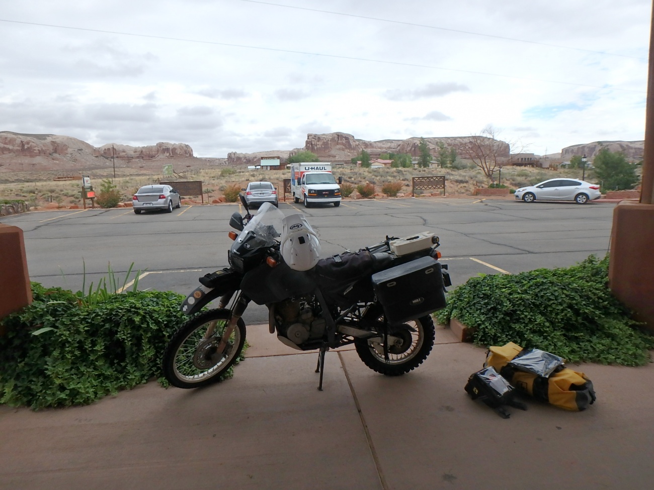
I was still sore from head to toe from the previous day of terrifying mountain passes and many miles of rain so I had thought about just staying at this lodge to take a rest day but the costs have been mounting and the lodge is quite expensive. I talked to the person at the front desk and she said that in this area motels fill up very quickly and it's often quite difficult to find a room.
Completely out of character, I decided to narrow my future options by looking for reservations. I had thought about staying in Moab but there were two problems. There were no vacancies and the prices of rooms were simply astronomical. Another 70 miles up, I found a reasonably priced motel in Green River, Utah. The weather forecast was calling for a severe weather event the following day, so I figured I could hole up there for two days for the price of one day here. So, since we live in the science fiction future, I booked a room on my handy hand held super computer.
The next morning arrived with cloudy skies.
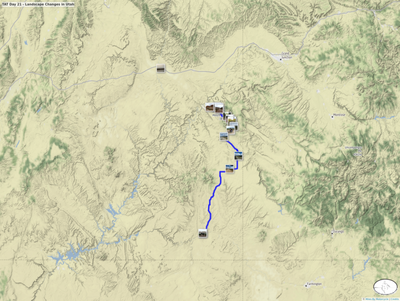
It was approximately 50 miles to get back to the trail in Monticello. As I headed out of Bluff, Utah, I saw a rock formation that looked familiar.
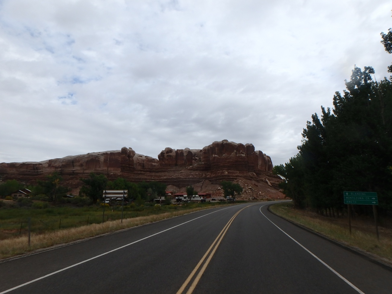
It's a little small in this photo but I recognized the two columns in the middle left. They are called the Navajo Twin Rocks. 25 years ago, on my very first cross country trip on my Honda V65 Sabre, I wild camped down a dirt road that runs near that formation. I remember not sleeping well due to the sound of two groups of coyotes yipping at each other.
On the way up to Monticello, my Mighty DR650 suddenly lost power. It started bucking and felt like it was going to stall. Then it caught and rode normally for a while. The symptoms repeated. At one point, I passed a gas station when the bike started losing power in earnest. I rolled to a stop on the side of the road trying to keep it from stalling. My plan was to go back to the gas station and see if I could diagnose what was wrong. In neutral, I revved the engine to near redline to keep it from stalling and suddenly power returned. The problem did not recur again.
Weird.
I stopped in Monticello and topped up the fuel tank and, for good measure, added some carburetor cleaner. It's just snake oil as far as I've been able to tell. Maybe it helps. Maybe it doesn't.
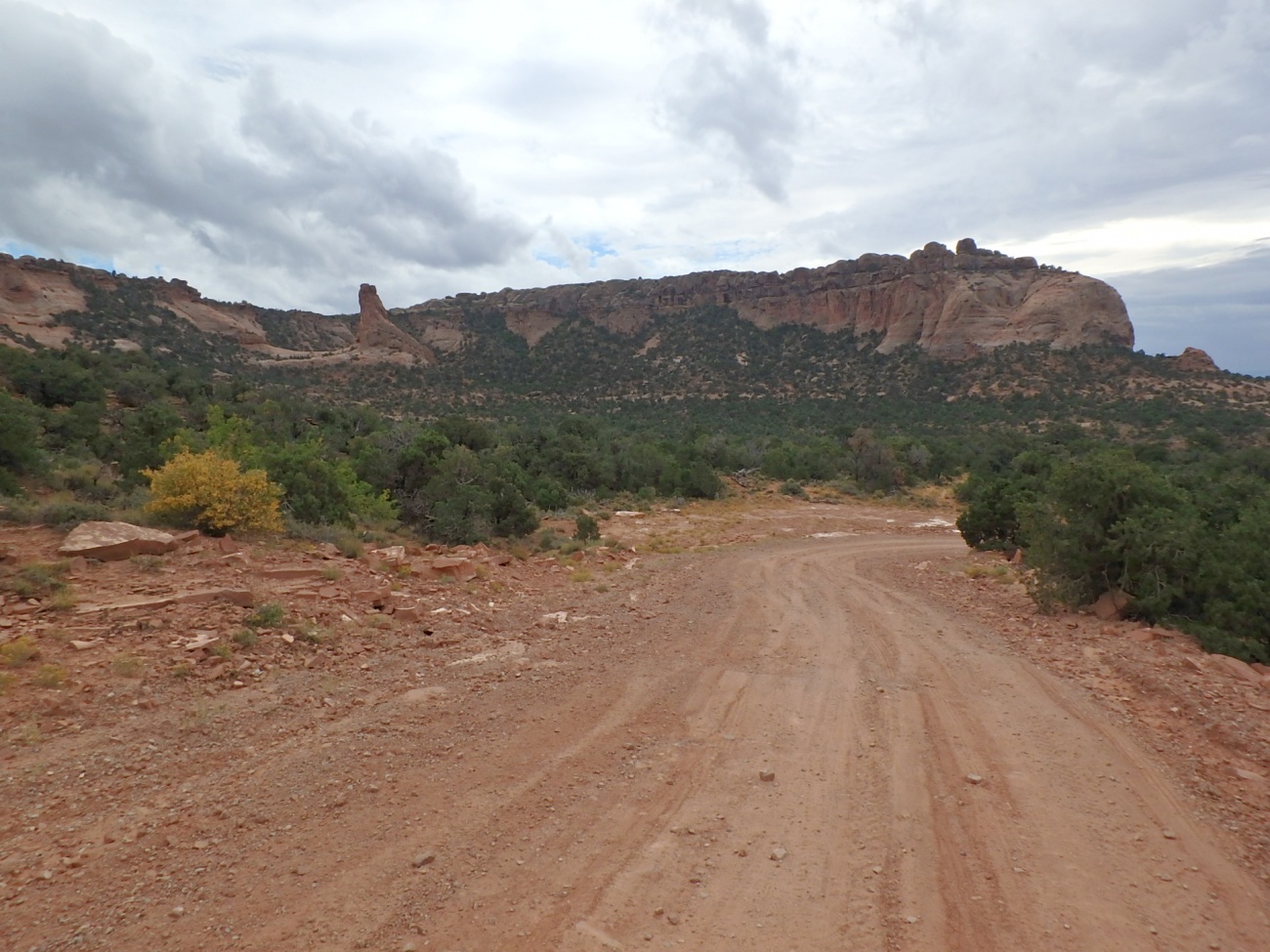
I rolled out of the station and soon found myself back on perfectly reasonable gravel roads that disappeared in the distance.
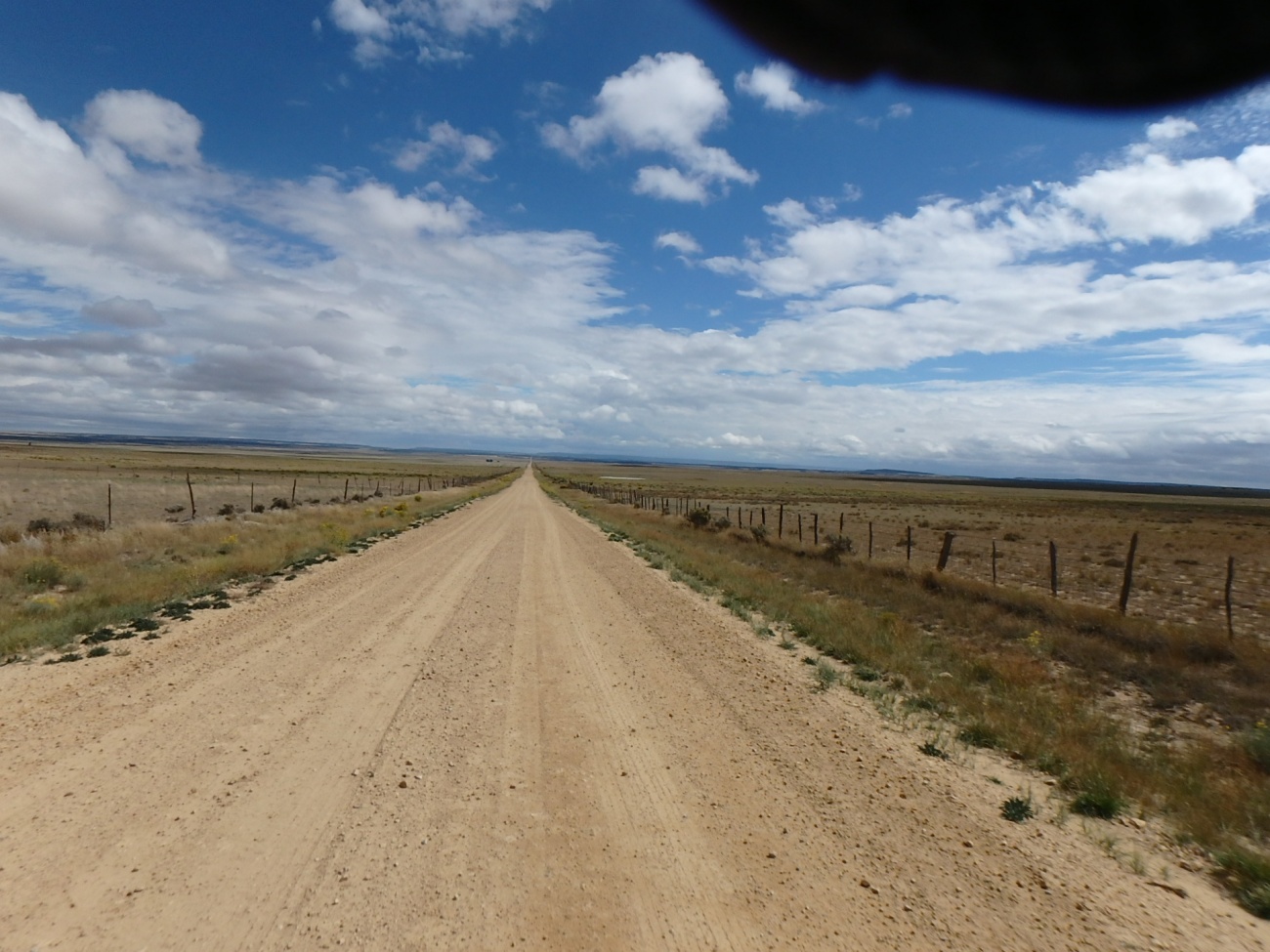
Wasn't it just the day before I was riding along thousand foot drops at over 12,000 feet? It's dramatic how landscapes and conditions can change so quickly.
It was around this time that I noticed my GPS was running on battery. The mount for the Garmin Zumo 550 is notoriously unreliable. I've already had one break on me one before on my last cross country trip. As I took the GPS out of it's mount, I saw one of the golden pins from the mount separate and fall out.
"That sucks." I thought as I realized I didn't know how long the GPS would run on battery. I started taking the roll chart very seriously.
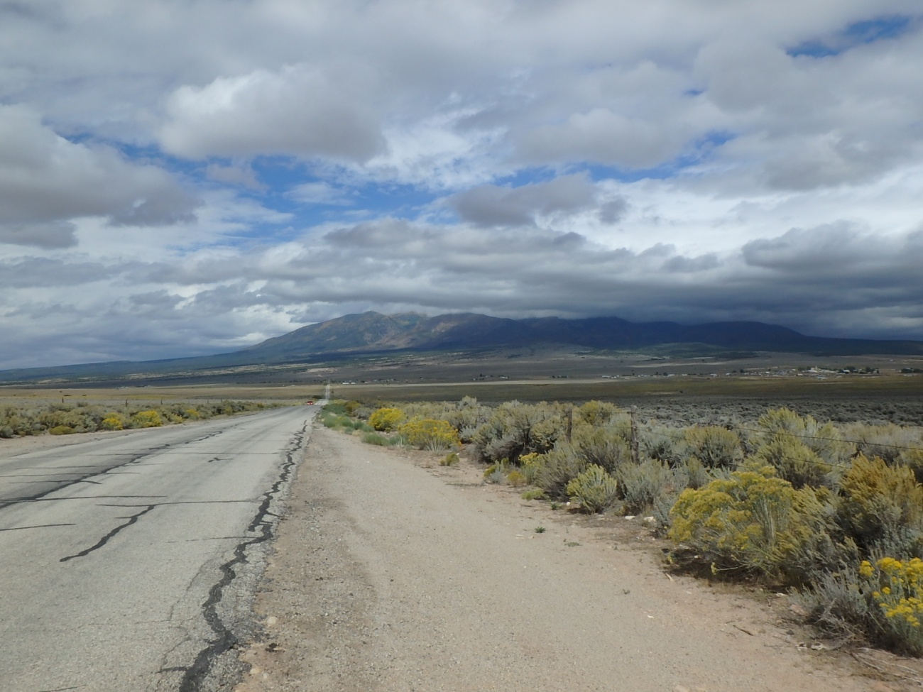
Green River was, following the trail, roughly 150 miles away. As a result, I was more focused on destination and didn't take quite as many photos as usual. I was making really good time. It was momentarily sunny but I knew that would likely not last. There was a small mountain ahead that was ominously covered in dark clouds.
At one point as I was crossing some pavement, I came upon a KTM rider who was standing next to his bike on the trail.
"TAT Rider." I thought. I asked him if he was ok. He was just taking a break. We got to talking.
He had an accent I recognized.
"Where are you from?" I asked anticipating the answer.
"Germany." he responded.
We switched languages and talked about the trail ahead for both of us. He mentioned some jeep trails on a small pass. I told him about my experiences on Ophir Pass and was even able to be funny. He had been on the road for a couple of months already and had crossed Canada. This was his fifth day on the TAT meaning he had been making really good time. We talked about some of the water crossings and I described how I had been pushed off the cement on one. He described a time in Iceland where what seemed like easy to cross water was flowing so strongly it knocked him down as he probed it by foot.
Water, especially moving water, can be very deceptive.
We chatted for a quite a while as clouds started rolling in. I gave him a card and hoped he would check on the site. I have enjoyed meeting other TAT riders out here.
We said our goodbyes and I headed off.
It was then I realized that I had failed to tell him, a KTM rider, about the Devil's Mud Runner in Oklahoma.
Since I had spent so much time chatting with the German, whose name I forget, I was focused again on covering distance. The battery charge indicator on the GPS was steadily decreasing.
The trail became steadily narrower and at one point the rollchart and GPS track disagreed.
The GPS trail routed me up along what was clearly a jeep trail. The rollchart indicated a right. Not trusting the rollchart, I followed the GPS hoping the battery would last. There was a marker with a jeep pictograph on it with, I believe, a green square. I can often not tell the difference between green and blue.
It quickly turned narrow, rocky, and a bit muddy. I was surprised how much my beast of a rear tire slid on this surface.
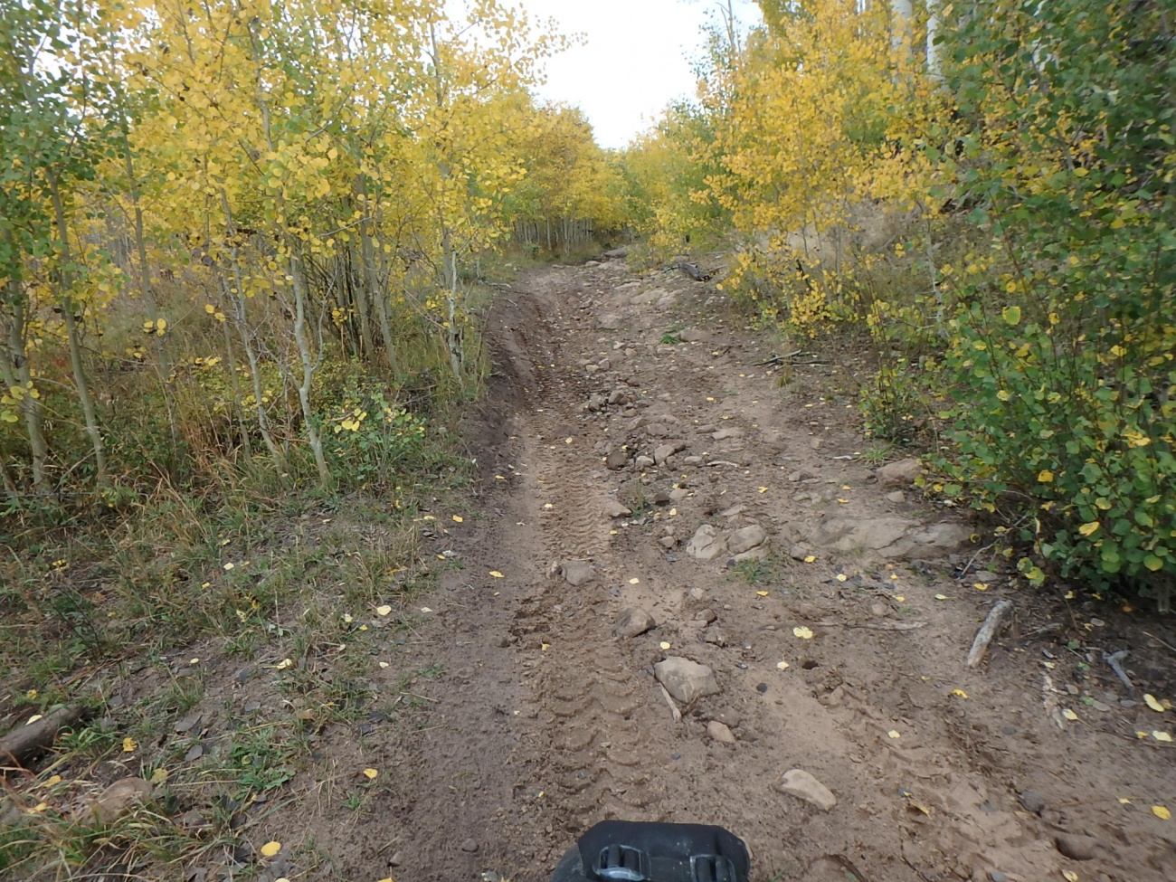
Some of this was challenging and there were a couple of points where I nearly dropped the bike, but it was more fun than stressful. On a motorcycle, most problems can be solved with a suitable applicaiton of throttle.
Or as Amber said, "When in doubt, gas it out."
Soon I was back on the wider trail when I realized that GPS track was taking me along "optional challenging routes" and the rollchart followed a more leisurely path.
The German TAT rider had mentioned that it got a bit muddy up here and I soon came upon what he was describing. It was slick but not terribly so. I'm not sure if it was due to a difference in the surface or whether I've just become more accustomed to this riding. Maybe the tires account for the difference. It's likely a combination of all three.
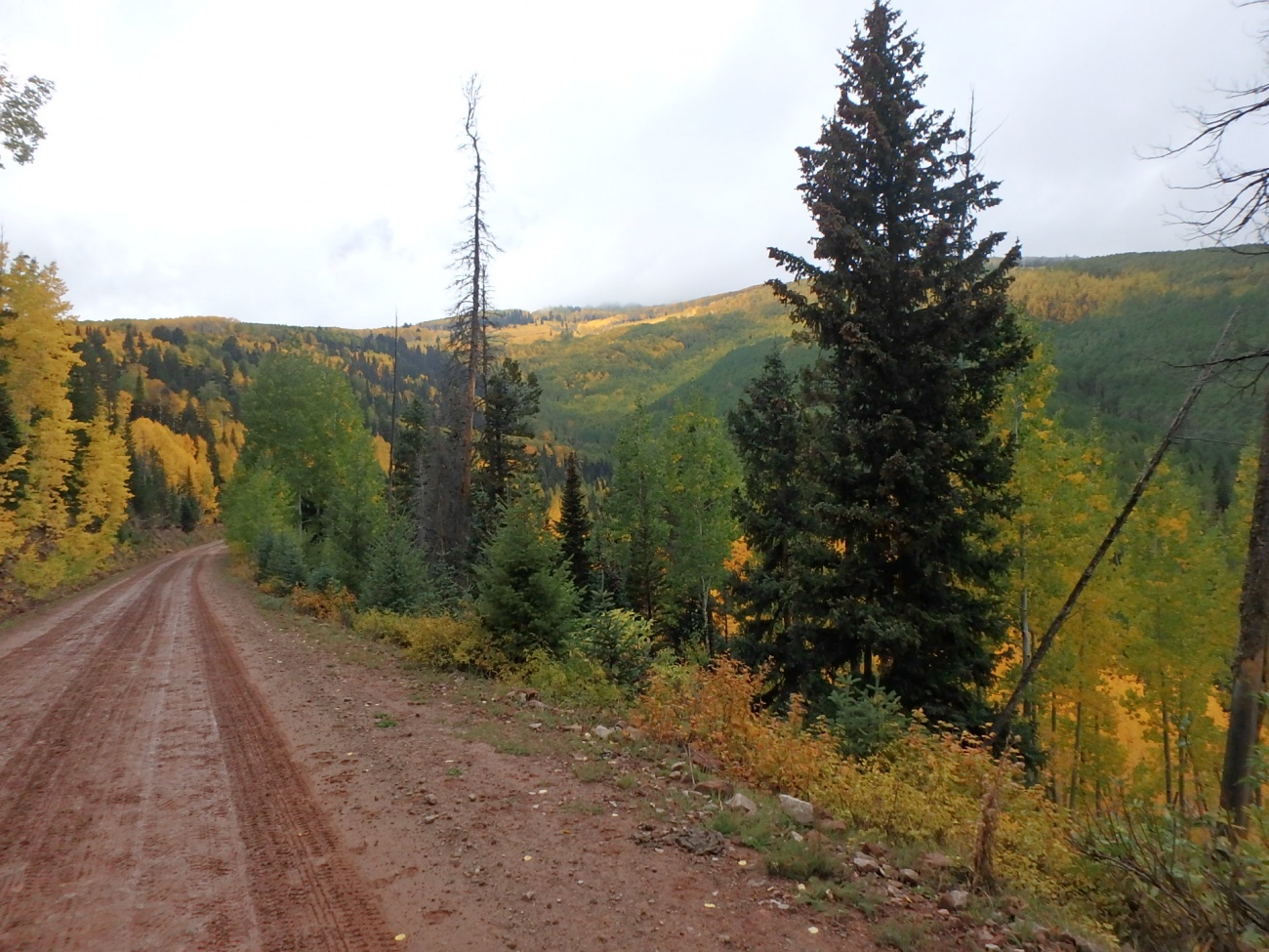
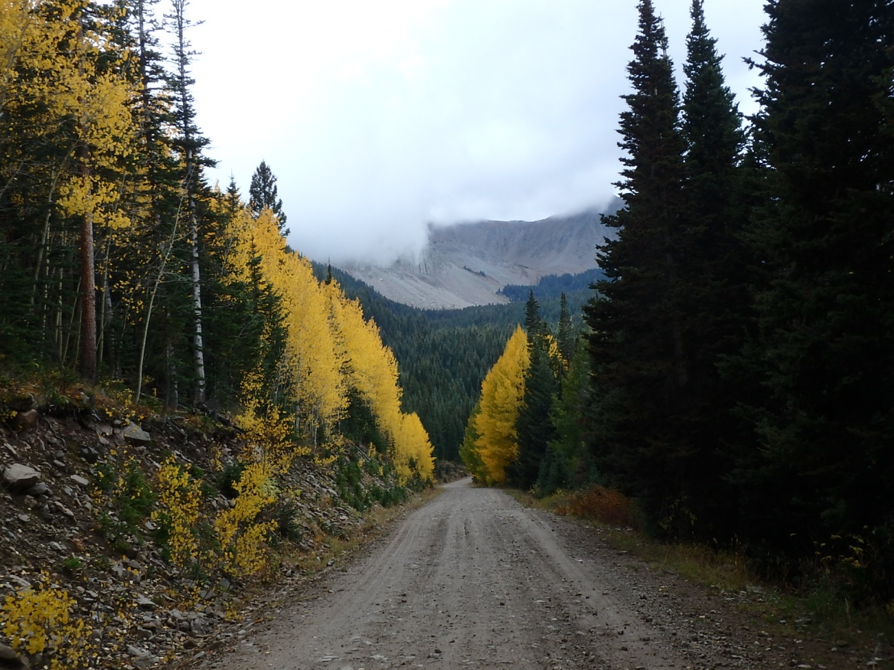
I was coming down one hill when I saw a mountain ahead of me that was slowly being engulfed by a cloud.
There was another intersection where the rollchart and GPS disagreed. I followed the GPS route onto another jeep trail that climbed the face of the hill through a series of aggressive rock covered switchbacks.
"I really need to re-evaluate my decision making." I thought as I risked life and limb skipping my way up the mountain.
Back on the main road, I took a rest. There was a voicemail waiting for me but I wasn't able to get it because I was out of service.
"Voicemails are almost always bad news." I thought as I stressed about it. "There's nothing I can do about it right now." I told myself as I got back on the bike now with a bit more urgency.
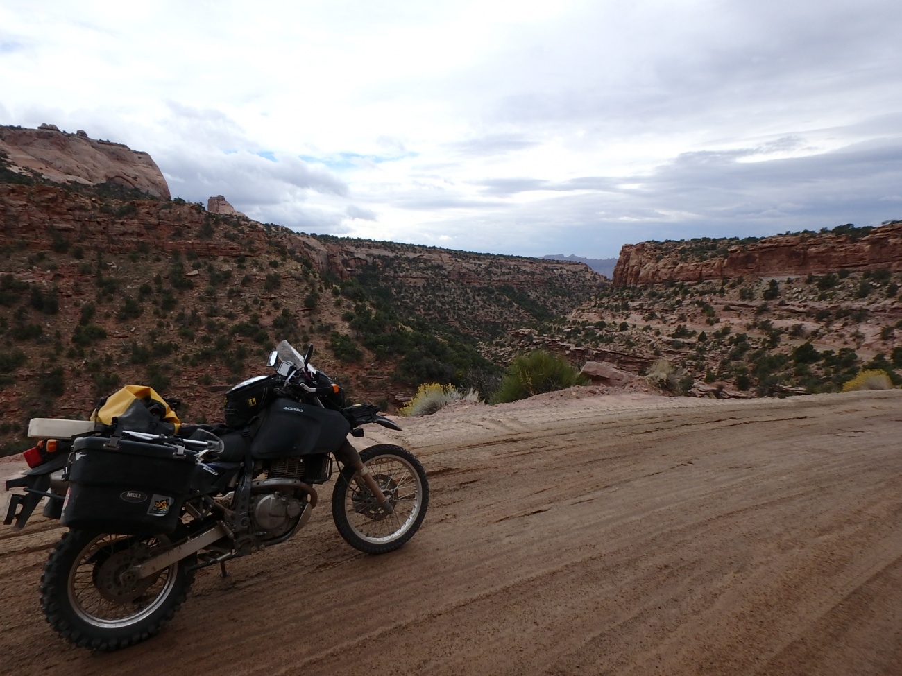
The ride down was beautiful.
And as quickly, the landscape changed as I descended to lower altitudes.
I came upon what I call "The Nose Rocks".
The look like cartoon character noses to me.
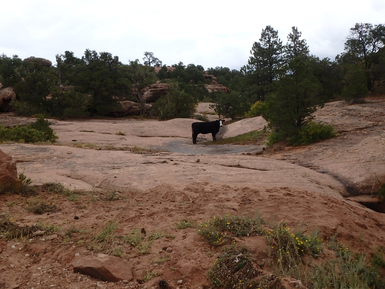
There were also cattle on the road. I call this one "Cow on the Rocks"
The GPS died. I was now relying solely on rollcharts and my failing memory. At each turn, I would have to remember to add the distance to the next turn to the current trip meter reading so I would know when to turn. The problem was that I would often forget that number. Fortunately, there were not many more turns before I got to Moab. I thought maybe I could find an electronics store in Moab to get a charger.
One turn on the rollchart indicated a 20 mile section. "Cool. No decisions to make." I thought.
Then I saw this.
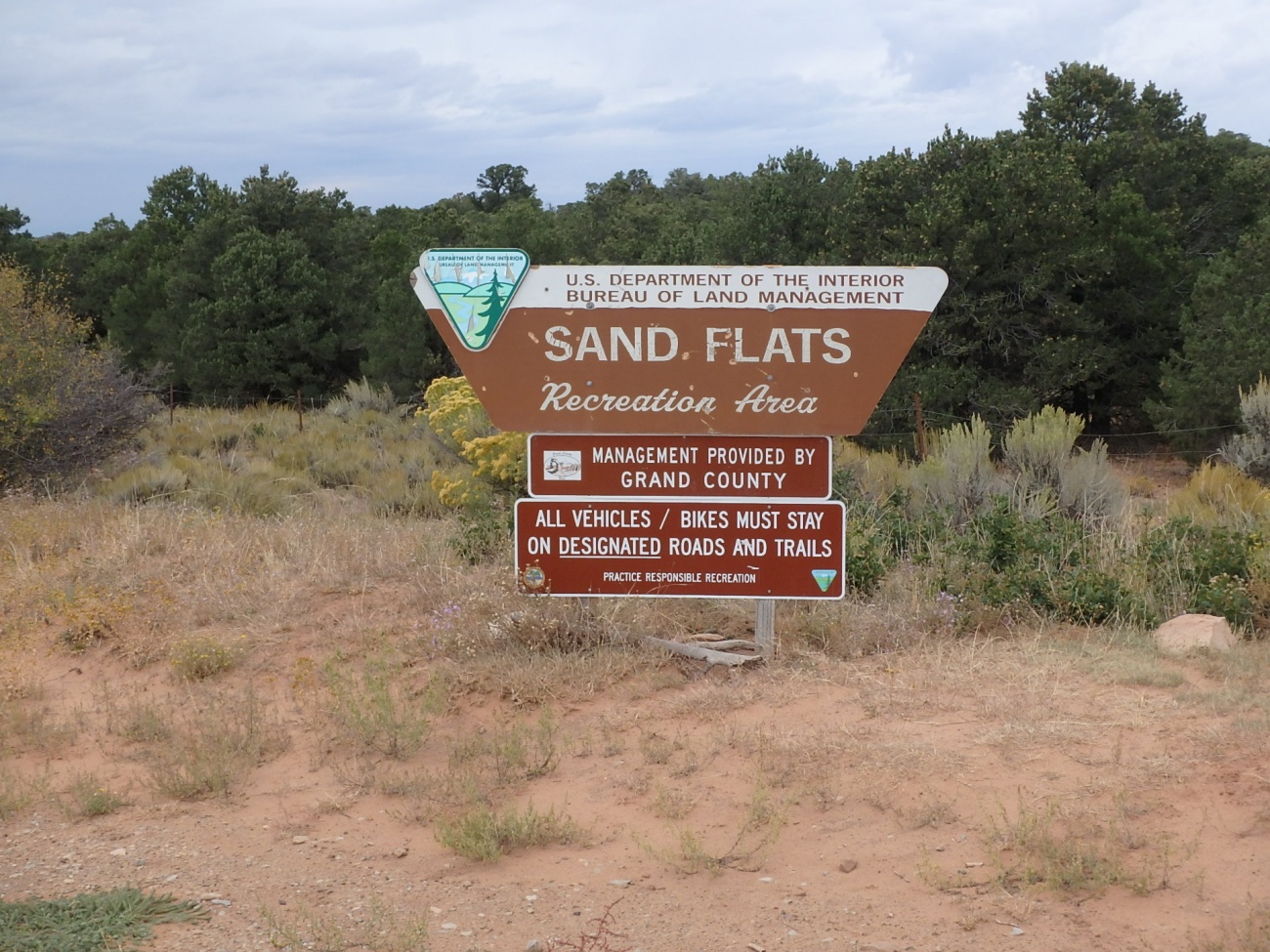
"Sand Flats?!?!?!"
Now who thought this was a good idea?
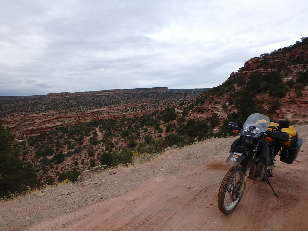
Fortunately, while the sand got quite deep and challenging in spots the majority of the next 19 miles was easily to ride.
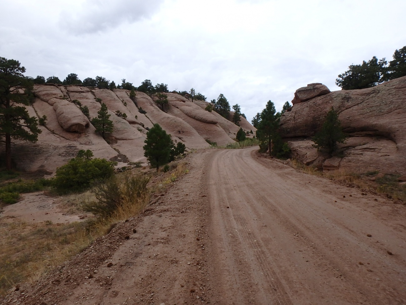
Again, the landscape changed dramatically. Wasn't I just on a tree covered mountain in the clouds?
I descended into an impressive little canyon where the trail was carved into the cliff wall.
And, of couse, the trail was a bit off camber and completely covered in sand which got quite deep and loose near the edge.
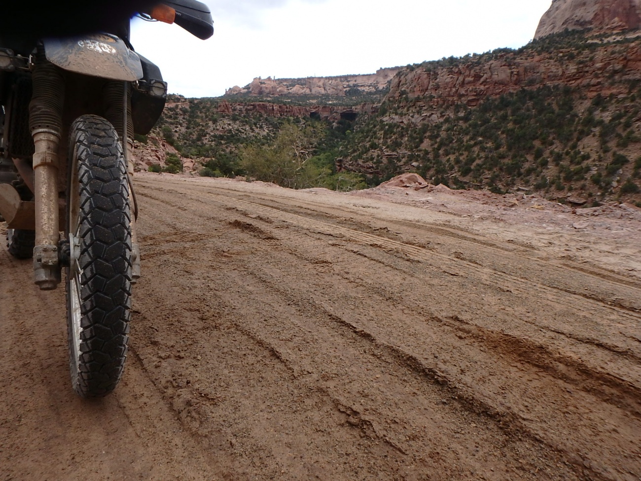
It would get a bit dangerous with this scenery being as distracting as it was. Around every corner there was something to see. The formations here are just impressive.
After a seemingly long time, I came to the realization that I had been riding in a park. The entrance had a shack but no one was inside. There were campgrounds and the number of tents and RVs one could see was truly impressive. There were a lot of people here.
Soon I was on pavement and stopped in a parking lot.
There were 5 bars on the phone.
I nervously checked my voicemail.
And for the first time in a very long time, there was no emergency. It was a nice message about a good day. It made me smile.
I braved Moab traffic and found an electronics store. I thought about buying a spare GPS or maybe seeing if I could find a charge cable for my existing GPS. Unfortunately, Garmin GPS's go into 'USB Mass Storage Mode" when you plug a USB data cable into them. So while I'm charging it, I can't use it. Even then, I've noticed the thing gets into a confused state when charged using a data cable. The shop did not have the right "charge cable". I opted not to spend a bunch of money and figured I could probably find something that I could use on the smart phone to keep track of where I am on the route.
"I really need to finish writing the mapping app." I thought as I came up with dozens of ideas. Software just takes too long to write.
It had started raining and with the delay in futzing with the GPS, it had gotten quite late. I opted to skip the trail section between Moab and Green River and made my way to the interstate.
The interstate on a DR650 is no fun. There was a good wind and to my dismay the wind would catch the tank bag rain cover and try to pull it off. But soon enough I rolled into Green River and arrived, a bit wet, at the Motel 6.
I had booked the room for two nights. I was spent, sore, and needed a rest.
 Jen Raffensperger7 years ago
That part of Utah is one of my favorite places I've ever been. It's otherworldly.
 randy00177 years ago
Hey, just a little word of caution. I broke my leg about 10-15 miles after I left Green River, UT, August 29th. The dirt road is boring and will sneak up on you. I had a little lapse of concentration going over a rise, was too the right, and the road turned left after the rise. I was going about 5 mph too fast and didn't make the turn. Broke my right leg and sprained my ankle pretty bad. Went down a 6 foot bank with the bike riding my leg. Be careful. My friends put me back on the bike and I rode back to motel 6 in Green River. My friends made some rocks into an "R" to mark where I went off the road. There were also vehicle tracks going off the road and I went off right in the middle of them. Just be careful. My trip ended because of a little lapse in concentration....two weeks early. Have a good ride and be safe.
 Yermo7 years ago
Thanks for the heads up. My trip ended just outside of Ephraim, UT in super thick mud which locked the rear wheel and broke my clutch. I managed to fix the clutch yesterday and will be starting the trip home on Wednesday. I'm just now sitting down to write about my time in Green River and the desert outside of there. You are right. It will sneak up on you.
Tags
- 16 transamtrail
- 1 mountain_passes
- 1 scary
- 1 watercrossing
- 1 blueridge
Archives
- 19 2016
You must be a member of this group to post comments.
Please see the top of the page to join.