Ride Map - 30Mar2013 Manassas to Lurray and back via Fort ValleySubscribe to this blog RSS Feed
    You must be logged in and belong to this group to post to this forum.
    1 of 6
    rshaug
    11 years ago
    I'm testing out some things with Google Maps and created a map for the ride this past Saturday. I can enable collaboration which could be interesting as well. Take a look and see what you think: 
    Link #5450
    rshaug
    11 years ago

    NOVA Ride - Manassas to Fort Valley - Google Maps

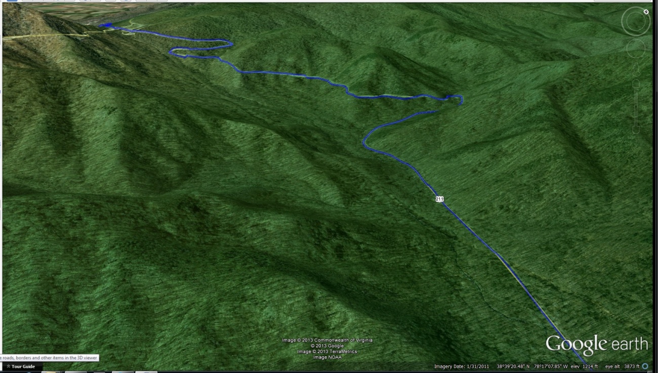
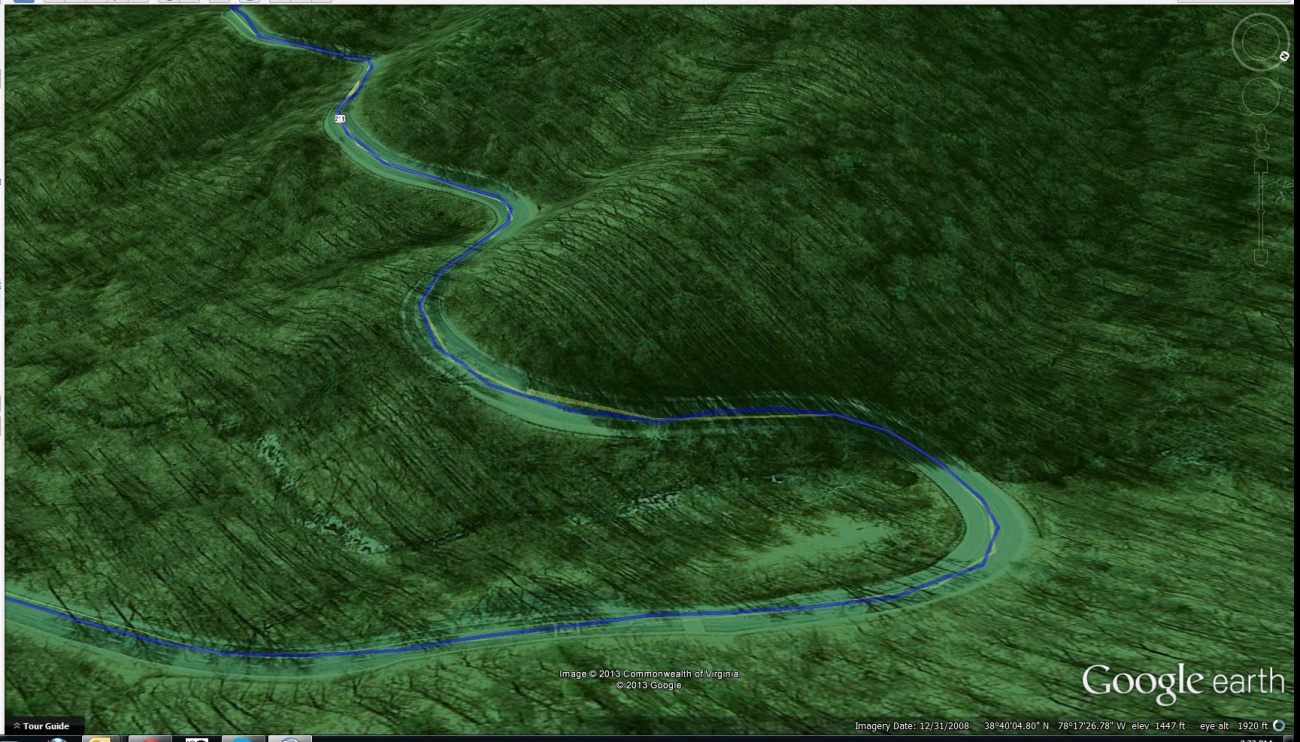
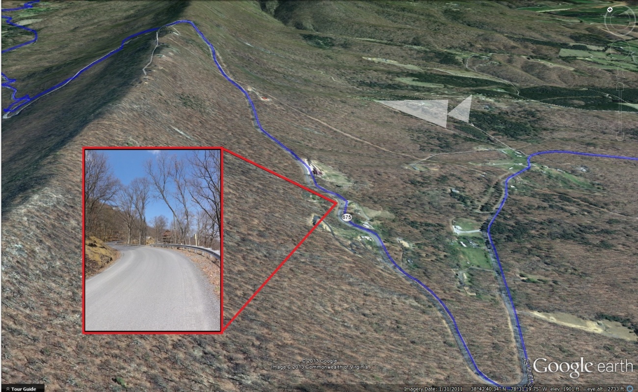
    Excellent secondary road ride through Northern Virginia including the historic Georgetown Cemetery, Lurray, and the beautiful Fort Valley Road before taking old highway 55 through small towns back to the starting point in Manassas. Time: Appx 6-7 hours with stops for lunch, coffee, and pics Traditional Meetup Time: 10am

    http://goo.gl/maps/iYmji
     
    2 of 6
    rshaug
    11 years ago
    For a much cooler view and many more features, use the KML file in Google earth: https://maps.google.com/maps/ms?ie=UTF8&authuser=0&...
    3 of 6
    Yermo
    11 years ago
    Guess I need to add this to the bug list.

    Real Soon Now(tm) we'll be able to build these maps integrated with everything else on the site right here.

    Real Soon ... real soon ... he says optimistically ... despite all evidence to the contrary ...
    4 of 6
    rshaug
    11 years ago
    From Google Earth of the above referenced ride map:

    Photo #5457
    rshaug
    11 years ago
    Rt 211 to Lurray
    5 of 6
    Yermo
    11 years ago
    ok, that is wicked cool.
    6 of 6
    rshaug
    11 years ago
    More fun with Google Earth...

    Photo #5461
    rshaug
    11 years ago
    Rt675 2 Views

     #ride #fortvalley #Lurray