Showing 0 to 16 of 17 Results
Tabasco Sailing Adventure 2023
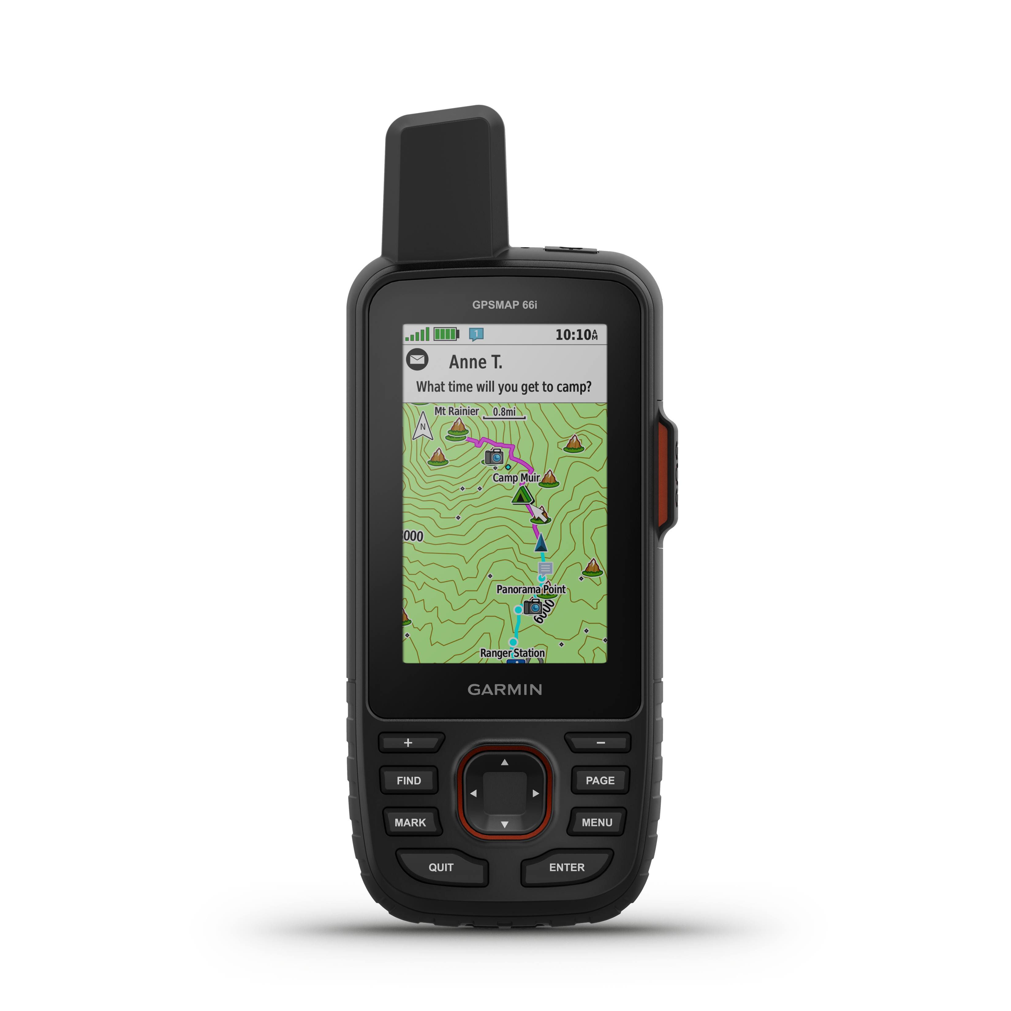
This is a link to my public inReach map.
https://share.garmin.com/4K6VE
Preview Unpaved Roads - PA
A map of unpaved roads in PA. I wonder if the underlying dataset is available
https://maps.psiee.psu.edu/preview/...
AllTrails: Trail Guides & Maps for Hiking, Camping, and Running | AllTrails
Search over 75,000 trails with trail info, maps, detailed reviews, and photos curated by millions of hikers, campers, and nature lovers like you.
https://www.alltrails.com/
Interactive Travel Map | United States Forest Service
Another interactive forest map. This one is raster based.
https://apps.fs.usda.gov/TravelAcce...
Maplets - Green Ridge State Forest Maryland
A map image overlaid onto a google map with the correct aspect ratio. Pretty cool.
http://www.mobilemaplets.com/contri...

National Park Maps | NPMaps.com - just free maps, period.
View and download any high resolution national park map: absolutely free PDF and image files of maps from park brochures and handouts, no strings attached.
http://npmaps.com/
Stockbridge, GA to Deals Gap - Google Maps
Find local businesses, view maps and get driving directions in Google Maps
http://goo.gl/maps/tfLNv

Open Data Map APIs and Web Services - MapQuest Developer Network
An overview of MapQuest's Open APIs and SDKs which rely heavily on OpenStreetMap, a crowd-sourced mapping project where the underlying map data is free and editable by the whole world.
http://developer.mapquest.com/web/p...

CloudMade - The Location Platform Serving OEMs, Enterprises & Developers
CloudMade provides you with access to a range of innovative tools and APIs that allow you to make the most of all map data
http://cloudmade.com
Found a site with all of the TAT maps in Garmin files, in high resolution, plus the high res daily maps in jpg, and full google maps and Google earth files for pre-planning. the sections in the 30s look simply amazing. eing able ot preview the sections in Google Earth is outstanding. He also has a full set of waypoint files for Garin that have all the gas stations etc.: https://sites.google.com/site/gpskevin/adventurerides/trans-america-trail https://sites.google.com/site/gpskevin/tat-in-google-maps https://docs.google.com/file/d/0Bw2pKVwVJim3dDJPN0poak1waFU/edit