Showing 25 to 49 of 142 Results


Engine Off Rolling Down HIll


Bald Eagle State Forest, PA | Page 2 | Adventure Rider
Preliminary Tracks for the Official Bald Eagle State Forest Dual Sport Trails Attached, find my best attempt to produce tracks from the official map,...
http://advrider.com/index.php?threa...
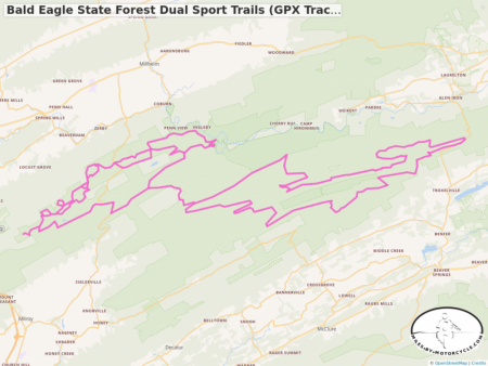
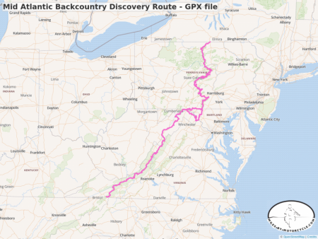
Bald Eagle State Forest Dual Sport Trails (GPX Track from Advrider.com)
This map is generated from a GPX file shared on AdvRider and covers some of the dual sport trails in Bald Eagle State Forest in Pennsylvania. See comments for link to the thread over at AdvRider.
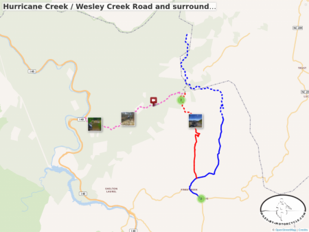
Hurricane Creek / Wesley Creek Road and surroundings
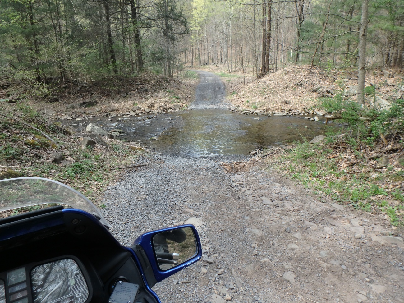
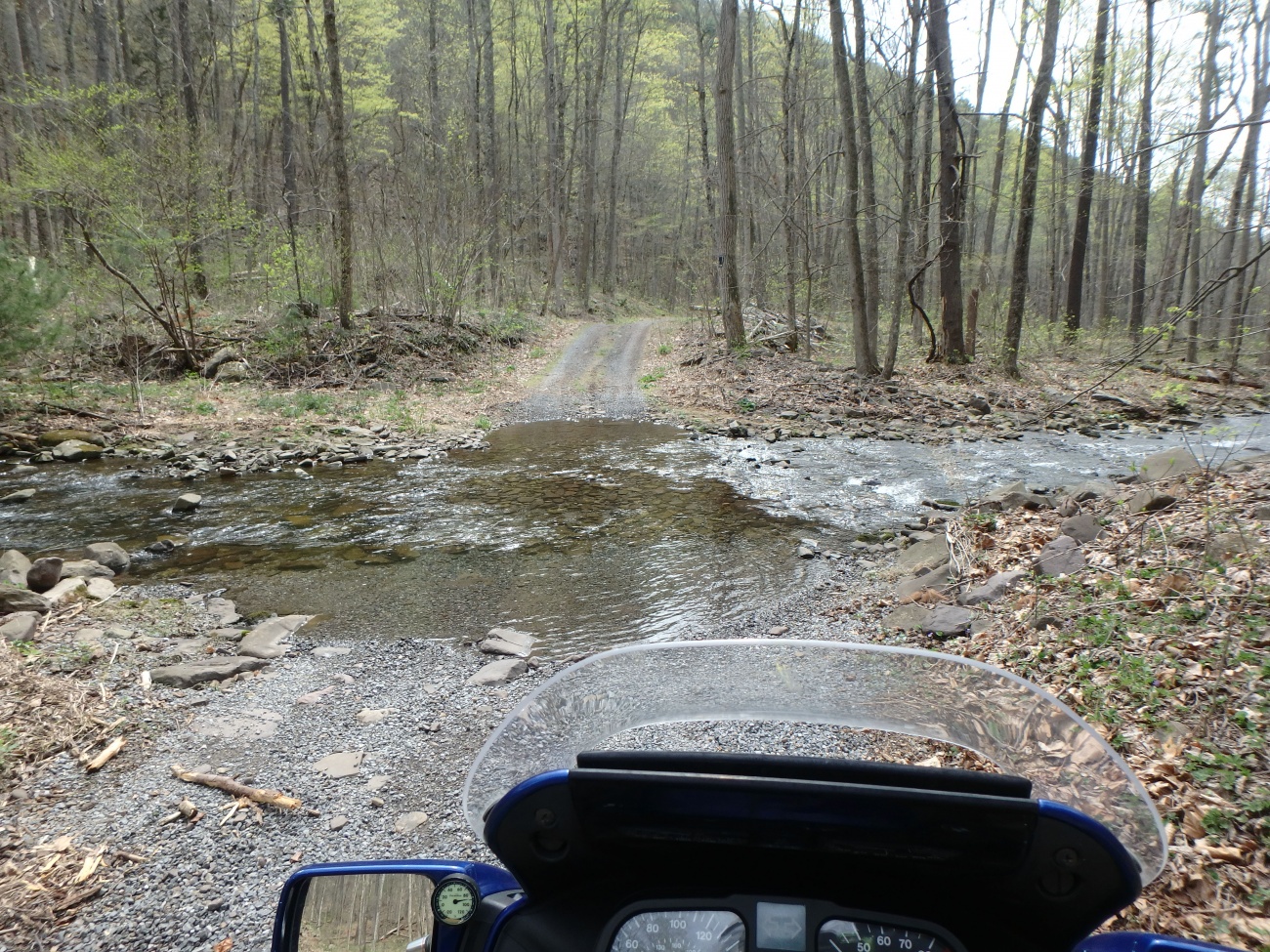
The ride on Hurricane Creek Road / Wesley Creek Road is one of the most challenging unpaved rides in the area.

Explore the Unpaved Roads of Loudoun County
Loudoun County, Virginia has more unpaved roads than any county in Virginia. Here is my guide to exploring some of the unpaved roads of Loudoun County.
https://www.mccooltravel.com/explor...
Alpine Loop/Ouray/Silverton July 2013
Dual Sport Motorcycles riding the Alpine Loop/Ouray/Silverton CO area. 200 Miles edited into less than 9min of video.

Hurricane / Wesley Creek Rds Group Dec 2 17
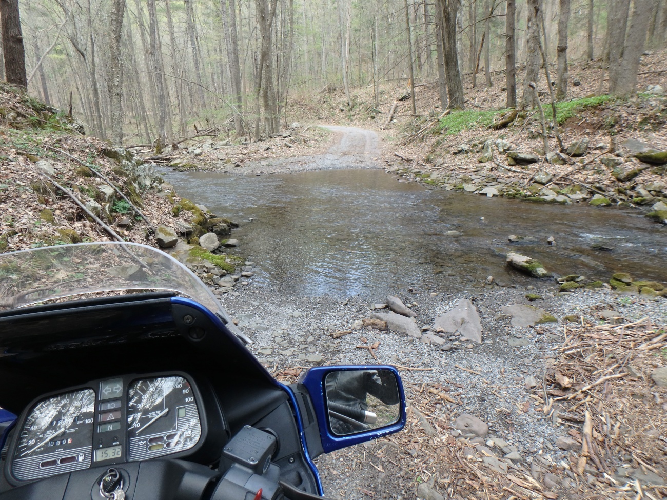
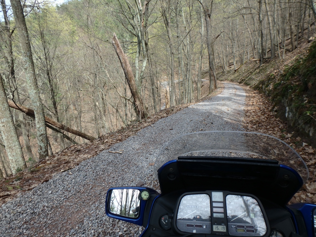
A group ride on Hurricane Creek Road to Wesley Creek Road with a talented bunch of adventure riders. Wet, rocky, steep near the end.
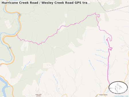
Hurricane Creek Road / Wesley Creek Road GPS track
Starts at I-40, west end. Single track linking the two roads for download as a .GPX file.
The Best Unpaved Roads EAST of Smoky Park | America Rides Maps
Unpaved motorcycle rides in North Carolina, Unpaved motorcycle Rides in Tennessee, trail rides, ADV motorcycle,
https://americaridesmaps.com/produc...
Gravel Road Maps and Biking Routes - Gravelmap
Gravelmap is a tool for finding and sharing local gravel roads for biking, gravel grinding, exploration and more.